

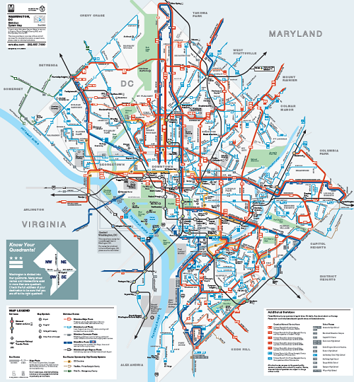
The Metrobus Map provides information about Metrobus route numbers, bus terminals, landmarks, metro park and ride lots, and connections to the Metro. There are four maps for bus routes in Washington DC, Virginia, and Maryland. To download a printable version of the map, right-click on the link below and depending on your browser, click on "Save Target As" or "Save Link As". The maps are in PDF Format requiring Adobe Acrobat Reader for viewing.
 Metrobus Map - Routes in Virginia (PDF Format)
Metrobus Map - Routes in Maryland: Montgomery County (PDF Format)
Metrobus Map - Routes in Maryland: Prince George's County (PDF Format)
Metrobus Map - Routes in Washington DC (PDF Format)
Related Information
|
|
Metro |
|
|
|
Metrobus |
|
 |
DC Circulator |
|
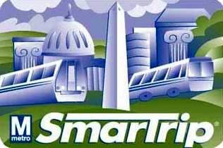 |
SmarTrip |
|
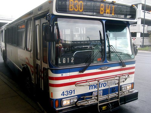
Washington DC Metrobus
Metrobus is operated by the Washington Metropolitan Area Transit Authority (WMATA) to connect Washington DC and its nearby suburbs in Virginia and Maryland. Most of the buses have stops at the Metro stations throughout the city. With approximately 335 Metrobus routes serving 12,216 bus stops in the metropolitan area, Metrobus is the fifth largest bus system in the United States.